How Bali’s 2026 Monsoon Pattern Really Works
Planning a Bali trip in 2026 is no longer just about finding cheap flights or quieter beaches. The island is entering a phase of higher hydrometeorological risk, and your travel dates now interact directly with how Bali’s water systems, drainage, and land use perform under stress.
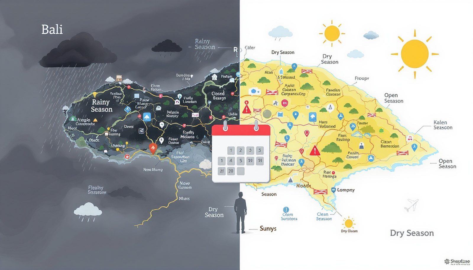
To choose the best time to avoid monsoon disruptions, you first need a clear view of how Bali’s rainy season works and why 2025–2026 differs from a more typical year.
Indonesian meteorological authorities (BMKG) indicate that the peak of the rainy season around January–February 2026 will bring unusually intense rainfall. This is not just about more rainy days; it is about short, extreme bursts of rain that overwhelm rivers and drainage. When that happens, three factors interact:
- Extreme rainfall intensity – short, heavy downpours rather than long, light rain.
- Overdevelopment and land use change – construction on slopes and near rivers, plus paved surfaces that prevent water from soaking into the ground.
- Under-designed drainage and poor waste management – drains clogged by trash and systems sized for milder historical rainfall.
When these three factors coincide, water that would normally be absorbed or safely channeled instead runs quickly over hard surfaces, funnels into rivers and low-lying areas, and causes localized floods, flash floods, and landslides. This is why recent severe floods in late 2025 and early 2026 hit specific regencies—Denpasar, Tabanan, Gianyar, Jembrana, and upland zones—rather than shutting down the entire island.
For travelers, the key point is that “rainy season” is not a simple on/off switch. Disruption risk rises and falls across the year, and that risk curve is steeper than usual in early 2026 because structural vulnerabilities have not yet been fully addressed.
Season-by-Season: When Monsoon Disruption Risk Peaks and Eases
To decide when to visit, it is more useful to think in terms of disruption risk than just total rainfall. The breakdown below focuses on 2025–2026 conditions and the specific issue of Bali rainy season 2026 flood and closure risks.
1. Late 2025 (October–December): Legacy Damage Meets Building Rains
By October–December 2025, Bali is already dealing with legacy damage from earlier severe floods. Drainage systems, riverbanks, and some slopes have been stressed or only partially repaired. As the monsoon builds:
- Rainfall: Increasing frequency of heavy showers and storms.
- Infrastructure condition: Patchwork repairs; some drainage and river normalization projects underway but not fully complete.
- Disruption pattern: Localized flooding in known hotspots, temporary road closures, and occasional landslides on hilly routes.
This period is risky because the system is fragile: even moderate storms can exploit weak points in riverbanks or clogged drains. However, rainfall intensity has not yet reached its peak, so the probability of large-scale disruption is lower than in early 2026.
Implication for timing: If you need to travel in the wetter half of the year but want to avoid the worst of the 2026 monsoon, late 2025 functions as a relative “shoulder” period. You accept more frequent rain in exchange for a lower chance of extreme, island-noticeable events.
2. Peak Monsoon 2026 (January–February): Highest Disruption Risk
BMKG forecasts point to January–February 2026 as the peak of the rainy season, with rainfall intense enough to trigger floods, flash floods, and landslides, especially in hilly and river basin areas. This is when the interaction between weather and infrastructure is most strained.
- Rainfall: Short, very intense downpours; multiple heavy-rain days in close succession.
- Hydrological response: Rivers and drainage systems frequently pushed beyond capacity.
- Structural vulnerabilities: Overdevelopment near rivers, slope excavation, and poor waste management amplify runoff and clog drains.
- Observed impacts: Recent events have produced severe but localized floods, road closures, and landslides, while the airport and most major resort zones have remained operational.
From a decision standpoint, this is the period with the highest probability of trip disruption even though the probability of a total island shutdown remains low. The main risks are:
- Last-minute changes to road access between the airport and certain areas.
- Temporary closure of specific attractions in river valleys or on unstable slopes.
- Localized power or drainage issues in neighborhoods with weaker infrastructure.
Implication for timing: If your priority is to minimize disruption risk, January–February 2026 is the period to avoid. The trade-off is straightforward: accommodation prices can be attractive and crowds thinner, but structural flood and landslide risk is at its peak.
3. Early Transition (March–April 2026): Risk Still Elevated but Declining
As the monsoon eases, rainfall intensity and frequency gradually decline, but the system remains sensitive. Soils are saturated, some infrastructure repairs are ongoing, and delayed policy measures are still being implemented.
- Rainfall: Still frequent showers, but fewer extreme events than in the peak months.
- Hydrological condition: Rivers and slopes remain vulnerable after months of stress.
- Disruption pattern: Fewer large events, but localized flooding and landslides can still occur, especially after isolated heavy storms.
This period is defined by residual vulnerability. Even as the weather improves, the system has not fully reset. A single intense storm can still trigger problems where drainage is damaged or slopes have been destabilized.
Implication for timing: March–April 2026 is a compromise window. You accept some residual risk in exchange for lower rainfall than peak monsoon and often better prices than in the dry-season high.
4. Core Dry Season (May–September 2026): Lowest Disruption Risk
By May–September, Bali typically enters its drier season. In the 2025–2026 context, this period also overlaps with medium-term government efforts to normalize rivers, reforest slopes, and enforce new water protection regulations.
- Rainfall: Generally lower; showers are less frequent and less intense.
- Hydrological condition: Rivers and drainage systems are under less stress; some structural improvements may be in place.
- Disruption pattern: Floods and landslides become rare; most disruptions relate to construction, maintenance, or traffic rather than weather.
Here, the system is operating well below its stress threshold. Even if infrastructure is imperfect, lower rain volume and intensity mean that the probability of severe flooding or landslides is much lower.
Implication for timing: For travelers focused on avoiding monsoon-related disruptions, May–September 2026 is the most robust choice. The trade-off is higher prices and more crowds, especially in July–August, but weather-driven closure risk is at its minimum.
Where Disruptions Actually Happen: Spatial Risk vs. Tourist Reality
Timing is only one part of the decision. The other is where you stay and how you move around the island. Recent floods and landslides show that risk is highly uneven across Bali.
Structural Hotspots: Why Some Areas Suffer More
Recent severe events have concentrated damage in specific regencies: Denpasar, Tabanan, Gianyar, Jembrana, and upland zones. This pattern reflects how development and natural geography interact:
- Low-lying urban areas (e.g., parts of Denpasar) – Dense construction, paved surfaces, and under-capacity drainage mean intense rain quickly becomes surface runoff, pooling in streets and low points.
- River-adjacent communities (e.g., along rivers in Tabanan, Gianyar, Jembrana) – Houses and businesses built close to riverbanks reduce the space available for rivers to expand during heavy rain, increasing overflow risk.
- Hilly and upland zones – Slope excavation for roads, villas, and terraces can destabilize hillsides, making landslides more likely when soils are saturated.
These structural factors mean that even if the island as a whole remains open, specific neighborhoods or road segments can experience serious disruption.
Tourist Corridors vs. Local Vulnerability
At the same time, core tourism infrastructure has shown relative resilience. Airports and major resort zones have largely remained operational during recent floods, with impacts concentrated in road closures, drainage failures, and temporary flooding rather than long-term shutdowns.
This creates an important asymmetry:
- Local communities bear most of the damage and rebuilding burden.
- Tourists mostly experience inconvenience—delays, detours, and occasional cancellations—rather than full trip collapse.
From a planning perspective, your choice of base and typical routes can significantly change your exposure to disruption, even within the same month.
Timing vs. Location: Trade-off Matrix
The table below summarizes how timing and location interact in terms of disruption risk. It is qualitative because precise probabilities are not available, but it reflects structural patterns described by authorities and recent events.
| Period | Lower-lying / river-adjacent areas | Upland / hilly routes | Major tourist corridors (airport–resort zones) |
| Oct–Dec 2025 | Moderate–High localized flood risk; legacy damage sensitive to storms. | Moderate landslide risk during heavy rain. | Generally operational; occasional road detours. |
| Jan–Feb 2026 (peak) | High flood risk; frequent drainage overload and river overflow. | High landslide risk on saturated slopes. | Mostly operational but with elevated risk of short-notice road closures. |
| Mar–Apr 2026 | Moderate flood risk; residual vulnerability after peak. | Moderate landslide risk after isolated storms. | Generally stable; disruptions less frequent. |
| May–Sep 2026 | Low flood risk; occasional heavy showers. | Low landslide risk. | High reliability; weather rarely causes closures. |
The logic behind this matrix is straightforward: the more intense and frequent the rain, and the more structurally vulnerable the area (low-lying, river-adjacent, or heavily excavated slopes), the higher the disruption risk. Major tourist corridors benefit from priority maintenance and better infrastructure, so they tend to stay open even when surrounding areas struggle.
Policy Response and What It Means for 2026 Travel
Bali’s government is not ignoring these risks. The island is moving toward more integrated environmental and disaster governance, but the pace and effectiveness of change are uneven. Understanding this helps you interpret how conditions may evolve across 2026.
New Regulations: Risk Mapping and Water Protection
Provincial regulations now embed several key measures:
- 2025–2029 disaster risk study – A structured assessment of where floods, flash floods, and landslides are most likely, using risk and vulnerability maps.
- Watershed audits and river normalization – Identifying bottlenecks and obstructions in rivers, then widening or clearing channels to restore flow capacity.
- Reforestation of barren slopes – Planting vegetation to stabilize soil and reduce landslide risk.
- Enforcement against illegal riverside construction – Targeting buildings that encroach on riverbanks and reduce natural floodplains.
These measures aim to restore some of the natural buffering capacity lost to rapid development. Vegetation slows runoff and anchors soil; wider, unobstructed rivers can carry more water without overflowing; and risk maps allow authorities to prioritize interventions where they reduce the most potential damage.
Why Travelers Still Face Uncertainty
Despite these efforts, several gaps remain that matter directly for trip planning:
- No quantitative disruption metrics – There is no clear data on the probability of airport disruption, average duration of road closures, or frequency of severe events across multiple seasons.
- Limited traveler-facing risk zoning – Risk maps exist for planners, but there is no standardized, easy-to-read zoning map for visitors showing high-risk flood and landslide areas versus more resilient corridors.
- Enforcement uncertainty – Regulations exist, but details on penalties, relocation mechanisms, and funding for drainage upgrades are not fully transparent, making it hard to predict how quickly vulnerabilities will be reduced.
For 2026, this means that while the policy direction is encouraging, you should not assume that structural risk will disappear within a single rainy season. Improvements are likely to be incremental, and the January–February 2026 peak remains a period of elevated disruption risk.
Information Noise: Social Media, Perception, and Real Risk
One of the most confusing aspects of planning around the Bali rainy season 2026 flood and closure risks is the gap between online narratives and on-the-ground reality.
How Dramatic Footage Distorts Perception
Social media and some news coverage often recycle old or manipulated flood footage, presenting localized events as if they were island-wide and continuous. This creates a perception of chronic crisis, even when most of the island is functioning normally.
The mechanism is psychological as much as physical:
- Availability bias – Dramatic images are more memorable and more likely to be shared, so they dominate your mental picture of Bali.
- Lack of spatial context – Videos rarely specify which regency or neighborhood is affected, making it hard to judge whether your planned route or base is actually at risk.
- Time lag – Old footage resurfaces during new storms, giving the impression of continuous disaster rather than discrete events.
As a result, travelers may overestimate the probability of catastrophic disruption and underestimate the importance of micro-location and timing.
Interpreting Signals More Accurately
Given the lack of precise quantitative data, the most reliable signals for 2026 planning are:
- Official BMKG forecasts – These indicate when rainfall intensity is expected to peak (January–February 2026) and which types of hazards (floods, flash floods, landslides) are most likely.
- Local government updates – Announcements about specific road closures, landslide-prone routes, or evacuation areas provide spatial detail that social media often lacks.
- Patterns from recent events – The fact that airports and major tourist zones have remained operational during recent severe floods suggests that total shutdown is unlikely, even during peak monsoon.
These signals are grounded in systematic observation and planning rather than viral amplification. Using them shifts your decision-making from reaction to structure: you focus on when and where the system is most stressed, not just on the most dramatic images.
Risk and Uncertainty: What You Can and Cannot Predict
Some uncertainty remains regardless of how carefully you plan. Understanding the limits of prediction helps you choose travel dates and expectations that match your risk tolerance.
What Is Predictable for 2026
- Seasonal pattern – The broad shape of the rainy season is predictable: peak around January–February 2026, easing from March, and a drier period from May–September.
- Structural vulnerabilities – Overdevelopment near rivers, under-designed drainage, and slope excavation will not be fully resolved by early 2026, so the same types of areas are likely to remain relatively high risk.
- Asymmetric impact – Local communities and specific regencies will continue to bear most of the damage, while core tourism infrastructure is likely to remain more resilient.
What Remains Uncertain
- Exact timing and location of extreme events – You cannot know which specific week in January–February will see the heaviest storms, or which particular road will be closed on a given day.
- Speed and effectiveness of infrastructure upgrades – Without detailed data on budgets and implementation, it is unclear how much drainage and river capacity will improve before the 2026 peak.
- Duration of disruptions – There is no standardized data on how long typical road closures or localized floods last, making it hard to quantify “how bad” a disruption might be for a given trip.
In practice, this means you can reduce risk but not eliminate it. Avoiding January–February 2026 and choosing less vulnerable areas lowers your exposure, but it does not guarantee a disruption-free trip.
Putting It All Together: When to Go If You Want to Minimize Monsoon Disruptions
Bringing the structural and seasonal pieces together, the best time to visit Bali in 2026 if you want to avoid monsoon disruptions is when the hydrological system is under the least stress and structural vulnerabilities are least likely to be triggered.
Lowest-Risk Window: May–September 2026
During May–September 2026:
- Rainfall is generally lower and less intense.
- Rivers and slopes are not saturated, reducing flood and landslide risk.
- Any completed drainage upgrades and river normalization works have their maximum effect because they are not being tested by peak rainfall.
The trade-off is that this is also the core tourist season. You are effectively exchanging higher prices and more crowds for lower disruption risk. For travelers whose main concern is avoiding monsoon-related closures and delays, this is usually a reasonable trade.
Moderate-Risk Shoulder: March–April 2026
If you want to balance cost, crowd levels, and risk, March–April 2026 offers a middle ground:
- Rainfall is declining from the January–February peak.
- Residual vulnerability remains, but the frequency of extreme events is lower.
- Prices and crowds are often more moderate than in the core dry season.
Here, the trade-off is more nuanced: you accept some chance of localized disruption in exchange for a potentially cheaper and less crowded trip. This can be reasonable if you are flexible with your plans and prepared for occasional detours or rescheduling.
High-Risk Period to Avoid: January–February 2026
Given BMKG’s forecasts and the structural vulnerabilities exposed by recent floods, January–February 2026 is the period when the probability of encountering flood- or landslide-related disruption is highest. Even though the island is unlikely to shut down completely, this is when:
- Road closures and detours are most likely.
- River-adjacent and upland areas face the greatest hazard.
- Drainage systems are most frequently overwhelmed.
Choosing to travel in this window is a deliberate trade-off: you may benefit from lower prices and fewer tourists, but you are accepting a structurally higher risk of disruption that planning alone cannot fully offset.
Conclusion: A Balanced View of Bali’s 2026 Monsoon Risk
Bali’s 2025–2026 rainy season is shaped by more than just weather. It reflects intense rainfall interacting with overdevelopment, under-designed drainage, and evolving but incomplete policy responses. For travelers, the useful lens is not “safe” versus “unsafe,” but a system whose stress level changes across time and space.
If your priority is to minimize monsoon disruptions, the most structurally robust choice is to visit during the May–September 2026 dry season, when rainfall is low and the hydrological system is far from its stress limits. If you are willing to accept some risk in exchange for lower costs and fewer crowds, March–April 2026 offers a reasonable compromise, as long as you recognize that localized disruptions remain possible.
Current evidence does not support the idea of an island-wide collapse. Airports and major tourist corridors have remained largely operational even during recent severe floods, while the worst impacts have been concentrated in specific communities and vulnerable zones. The real decision tension is between convenience and certainty (dry-season travel) and flexibility and savings (shoulder or peak monsoon travel), against a backdrop of structural vulnerabilities that will take years—not months—to fully resolve.
By aligning your travel dates with periods when Bali’s water systems are under the least stress, and by distinguishing between localized hazard and overall destination operability, you can make a more informed, less noise-driven decision about when to visit the island in 2026.